Czechia to Austria 15/09
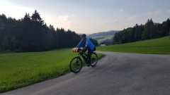
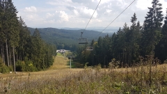
80k, 1 1/2 battery fulls, lots and lots of off-piste and climbing.
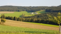
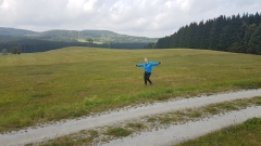
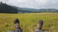
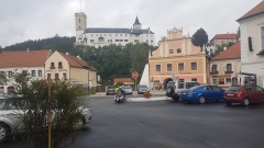
Excellent mountain biking most of the way, lots of steep muddy ups and downs, forest tracks, meadow single tracks, wrong directions aiming for the summit of Lichtenberg instead of the town, top up charging at Bad Leonfelden, booking a pension in Lichtenberg St in some other town hours away, riding down the last 10k in the dark with failing lights, discovering leberkase (Austrian fast food meatloaf – delicious) as the last place open in town.
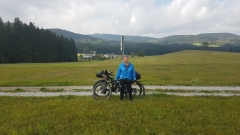
We felt like smugglers crossing the border on a remote forest tracks, and I wondered if I might be the first kiwi 68 yr old on an e-mtb to pass this way.
Total distance: 45.8 km
Max elevation: 985 m
Min elevation: 540 m
Total climbing: 915 m
Total descent: -687 m
Total time: 05:51:03
Download file: 20180915-084923.gpx
Max elevation: 985 m
Min elevation: 540 m
Total climbing: 915 m
Total descent: -687 m
Total time: 05:51:03
Total distance: 27.94 km
Max elevation: 926 m
Min elevation: 636 m
Total climbing: 478 m
Total descent: -603 m
Total time: 03:01:42
Download file: 20180915-163358.gpx
Max elevation: 926 m
Min elevation: 636 m
Total climbing: 478 m
Total descent: -603 m
Total time: 03:01:42
